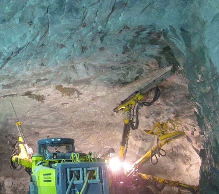
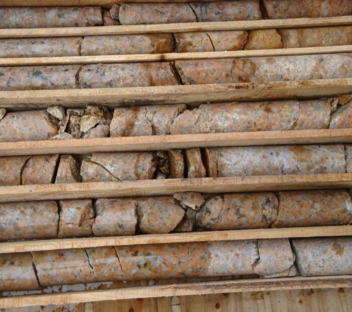
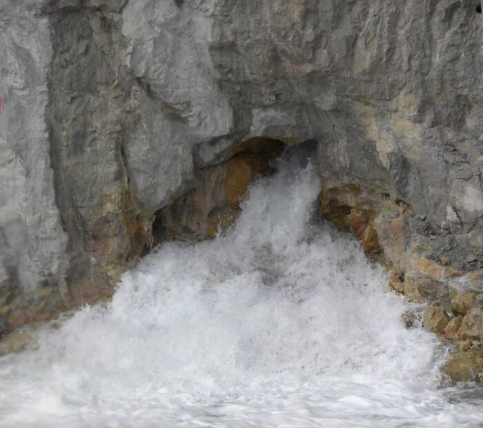
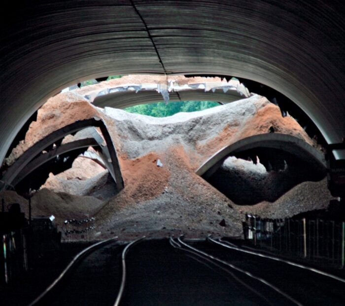
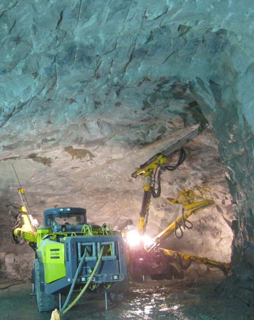
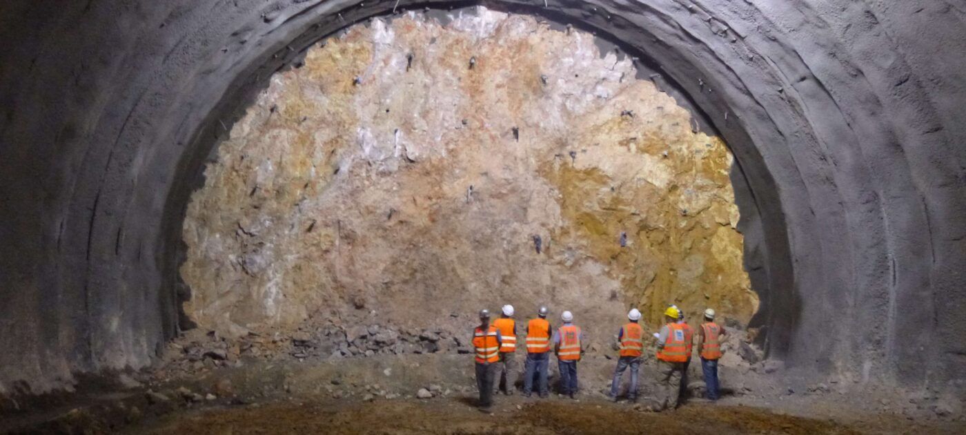
Planning & Investigation

In assessing large scale surface and underground construction projects, emphasis and reliance is placed on establishing a comprehensive geological & hydrogeological model of the rock mass conditions.

Downhole Geophysics - Triangeln, Sweden

The design, planning, specification and interpretation of site investigations is central to the engineering geological and hydrogeological expertise within the group.  Geo-Design have extensive experience of developing investigation strategies for major infrastructure and mining projects in a variety of geological settings.

These include investigations for route or site selection through to providing a reliable basis for project planning and detailed design.


Planning

  • Desk Studies
  • Aerial Photograph Interpretation
  • Remote Sensing Data Assessment
  • Geomorphological Route Corridor Evaluation
  • Terrain Evaluation
  • Alignment Geological and Tunnelling Interpretations
  • Route and Site Selection

Investigation

  • Specialist Site Investigation Planning, Specification and Supervision
  • Application of Engineering Geophysics
  • Specialist Core Inspection and Logging
  • Excavation Mapping - Logging and Construction Control

Evaluation

  • Interpretations and Geological Models
  • Geological Conditions - Risk Assessments
  • Excavatability Assessments
  • Geotechnical Assessments of Critical Interfaces and Interactions
  • Geotechnical Baseline Reports
  • Hydrogeological Impact Assessments